Large! Kriegsmarine Ostsee Map
SOLD
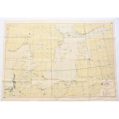
Very nice and unique large Kriegsmarine related map in used, but good condition.
Availability:Out of stock
Product Number
32163
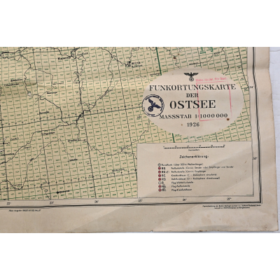
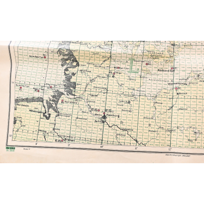
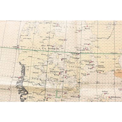
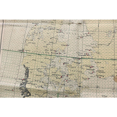
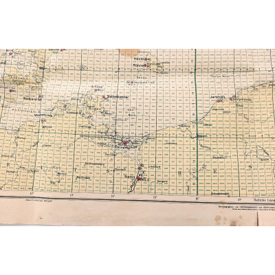
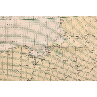
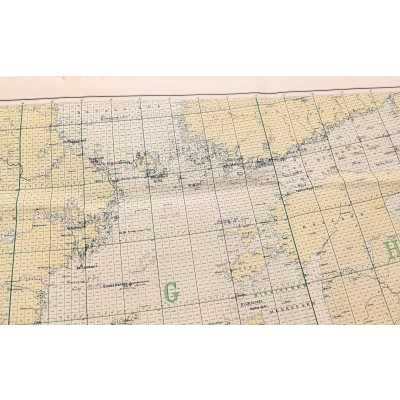
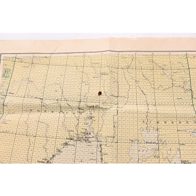
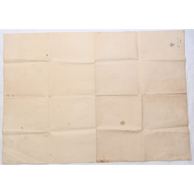
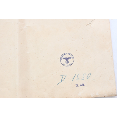
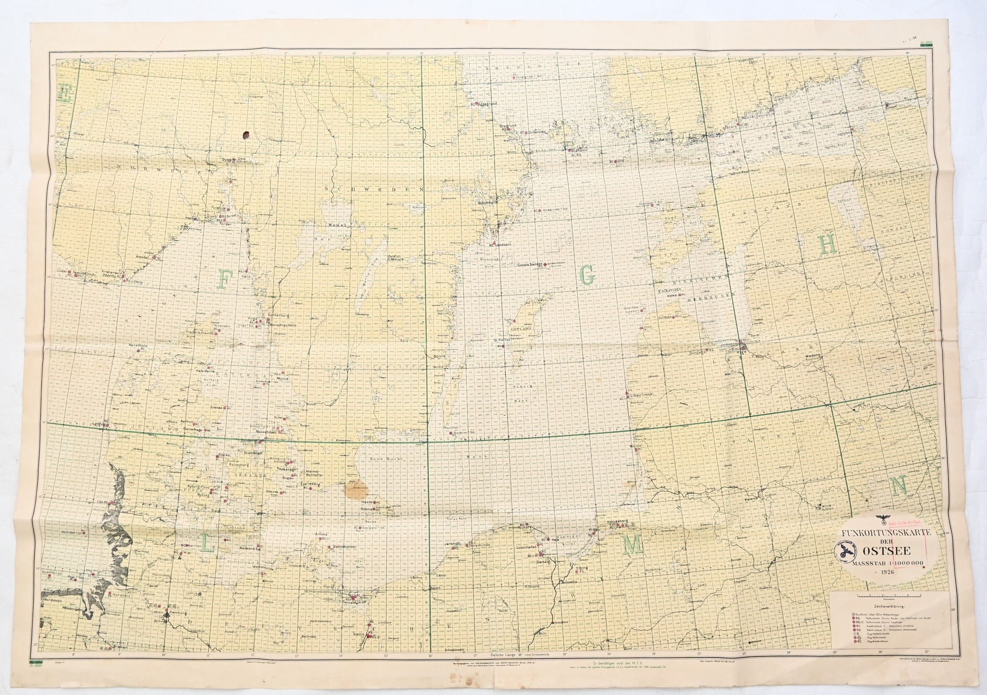
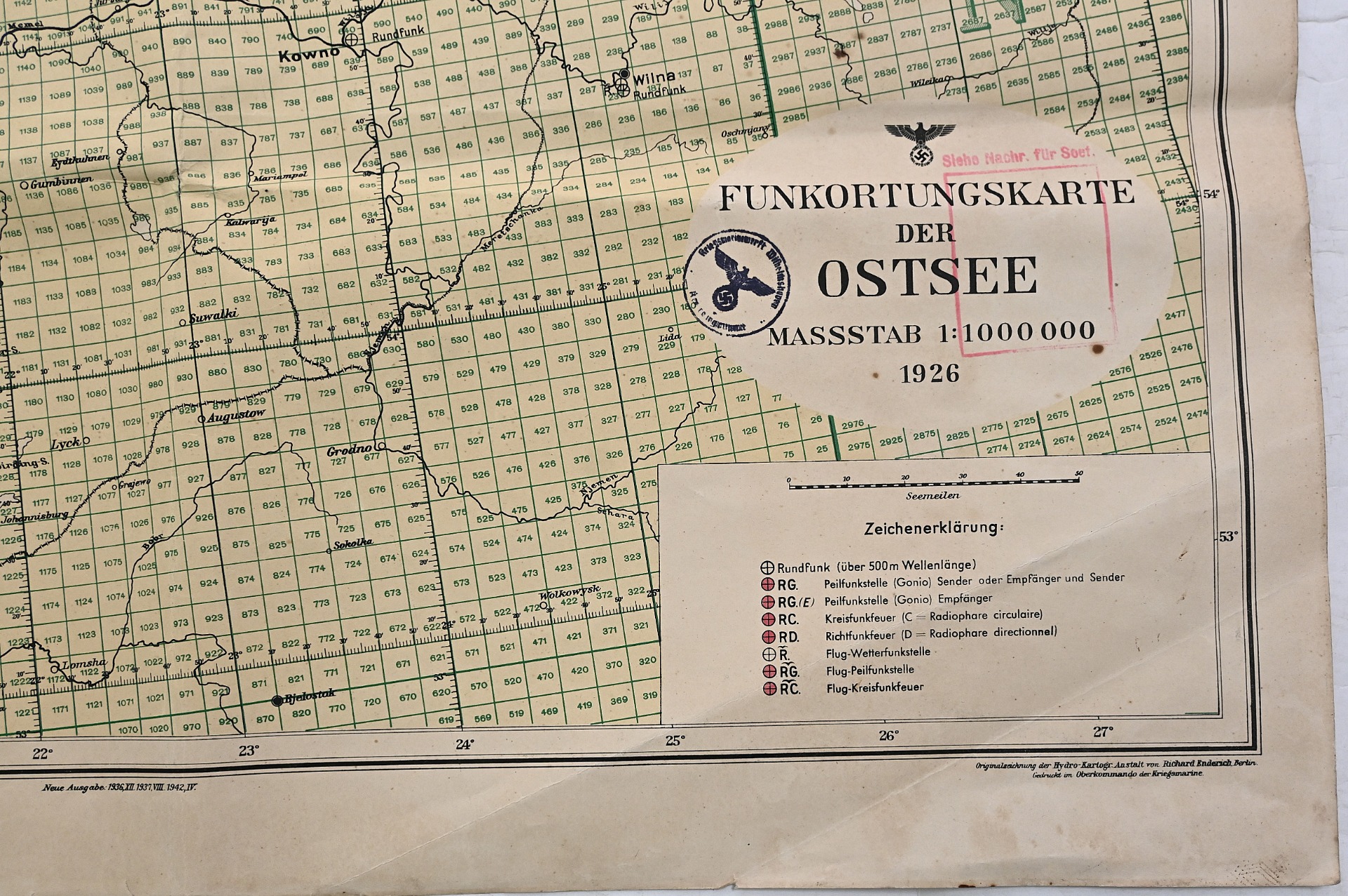
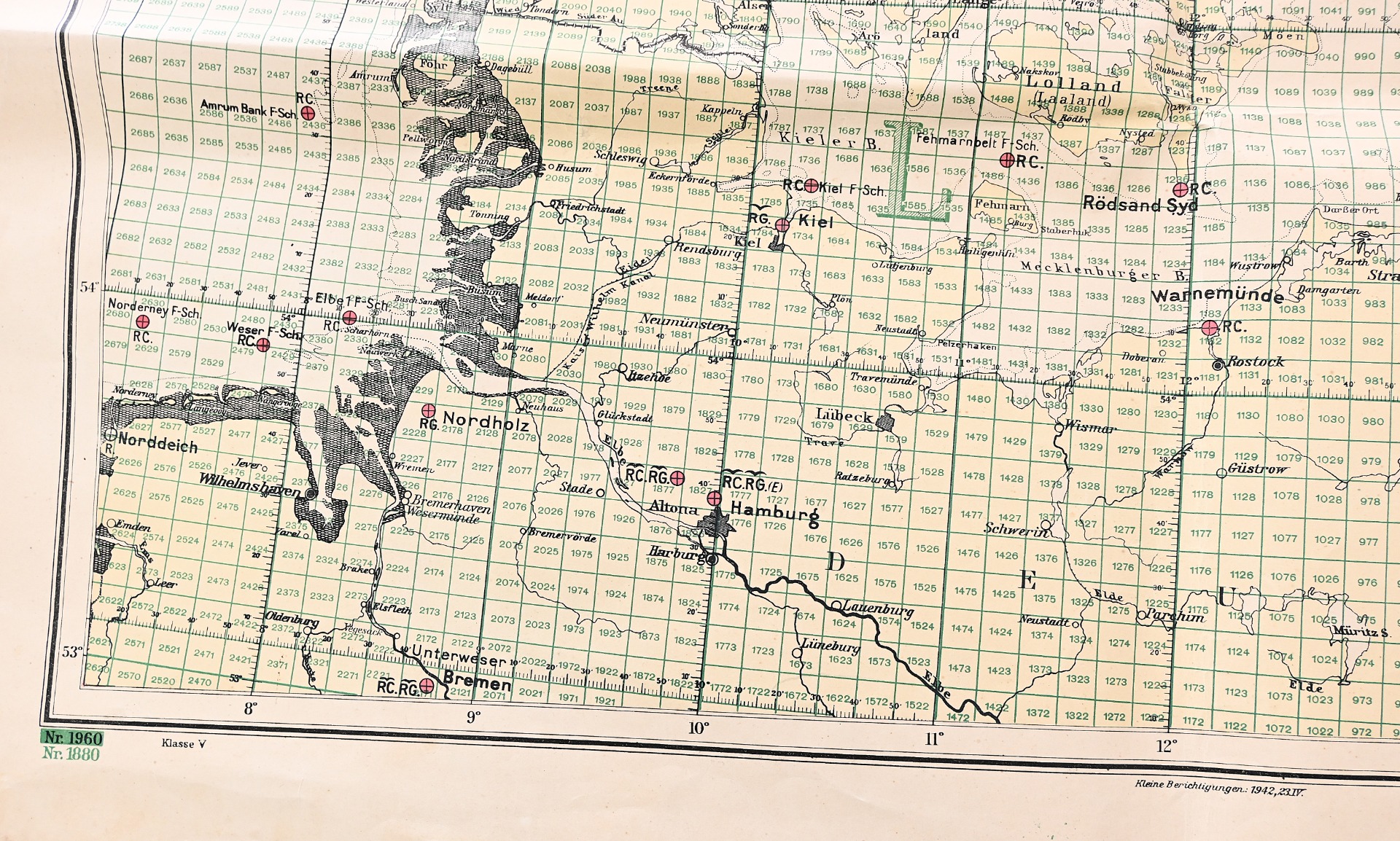
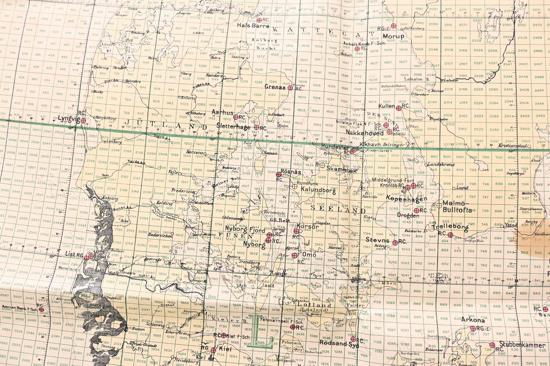
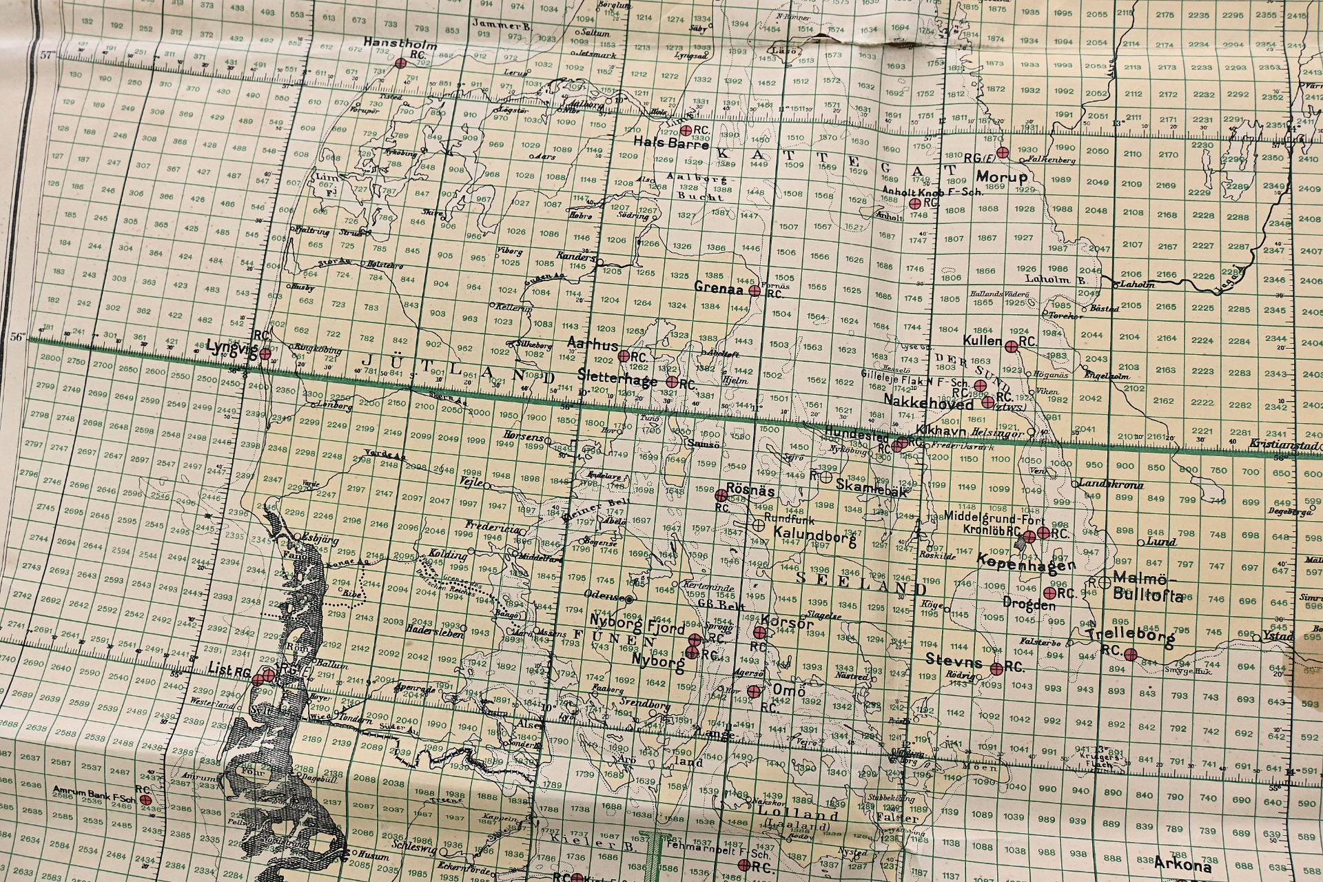
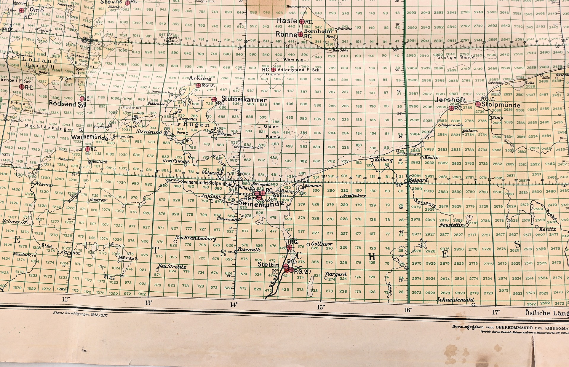
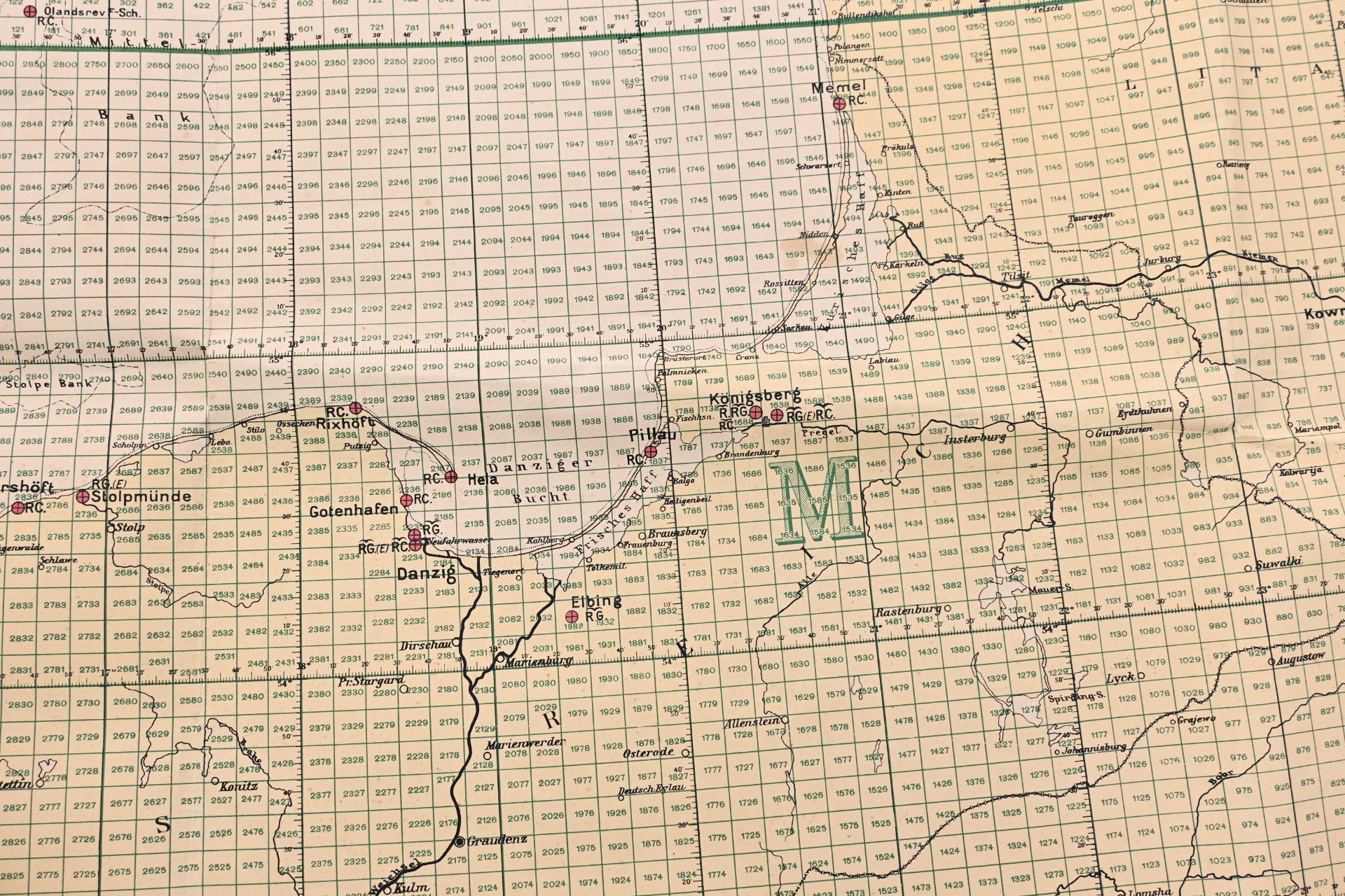
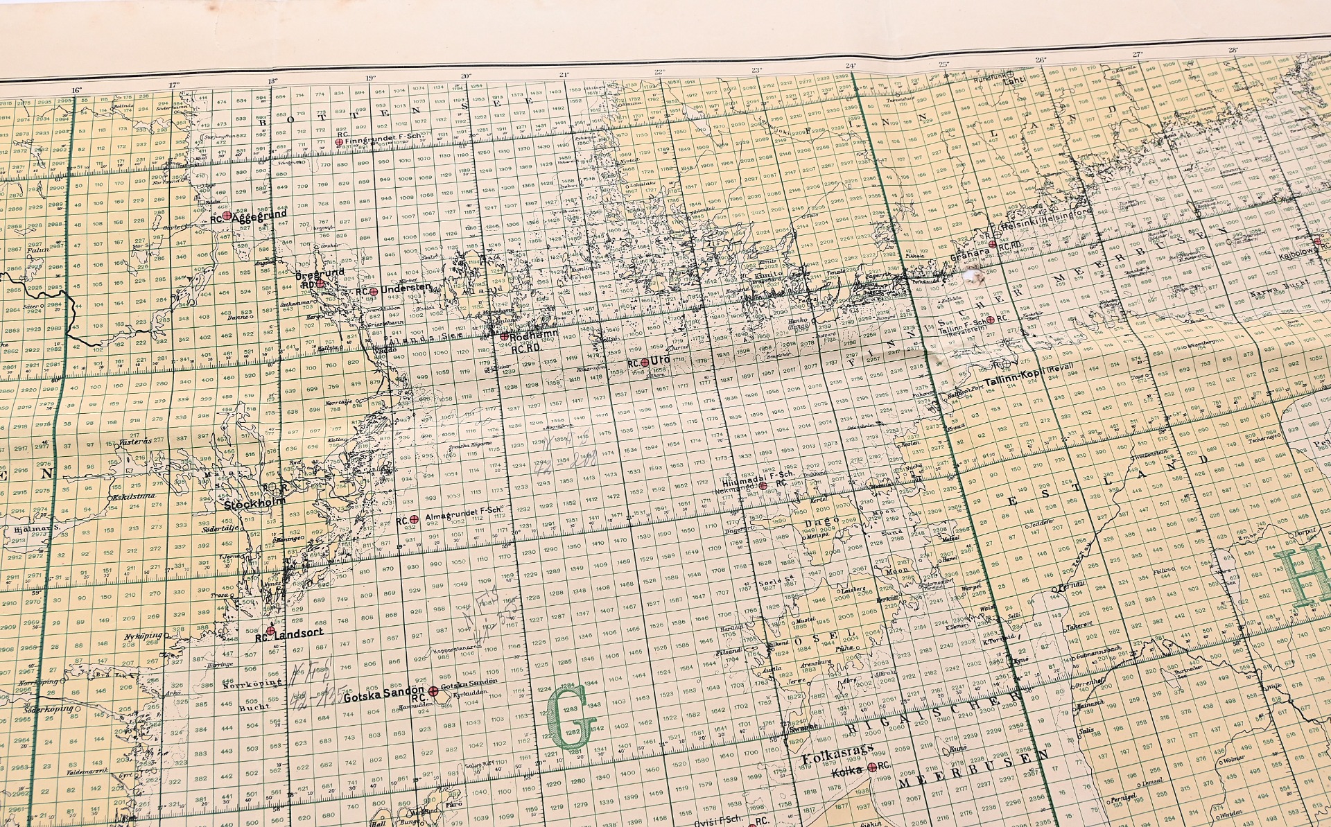
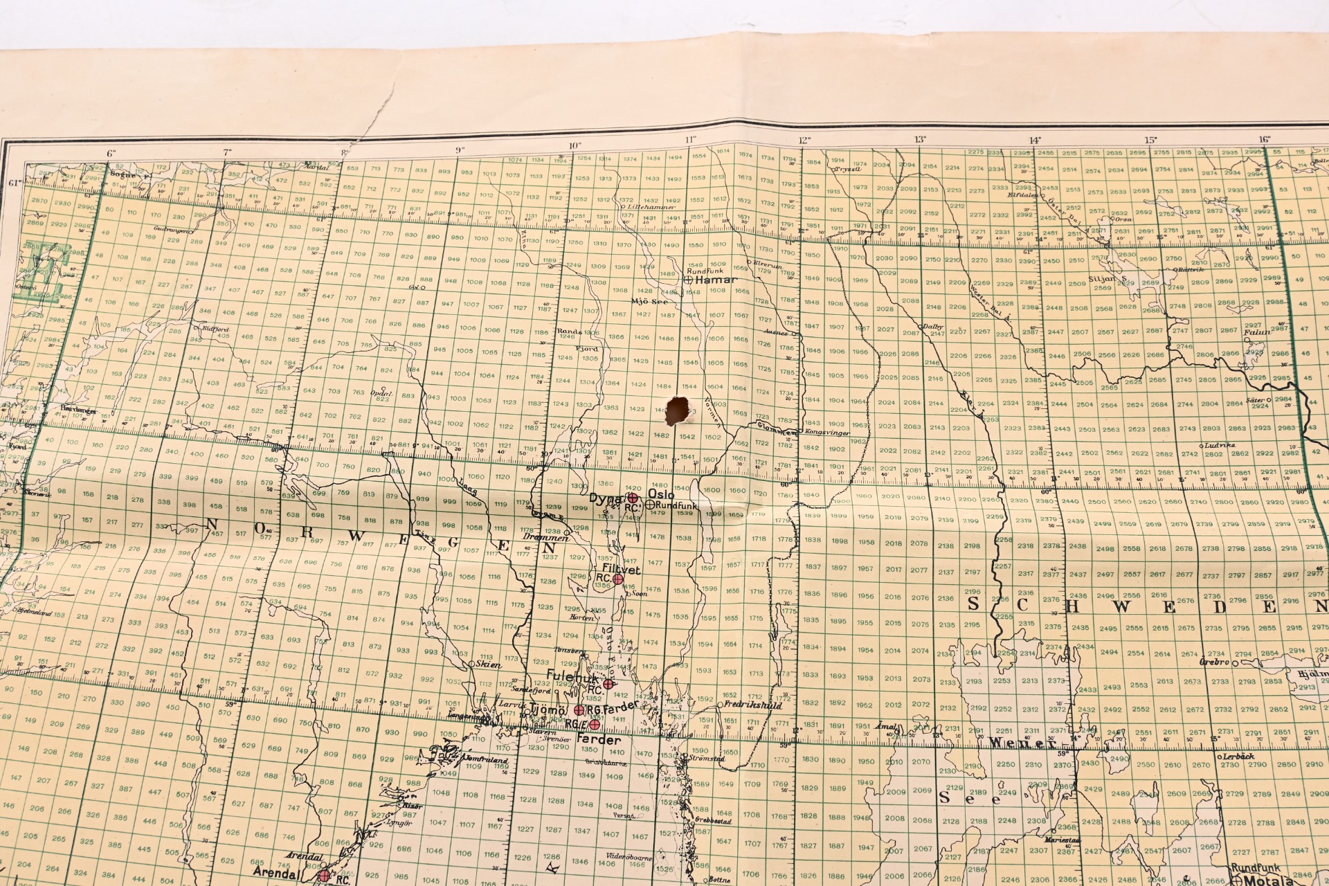
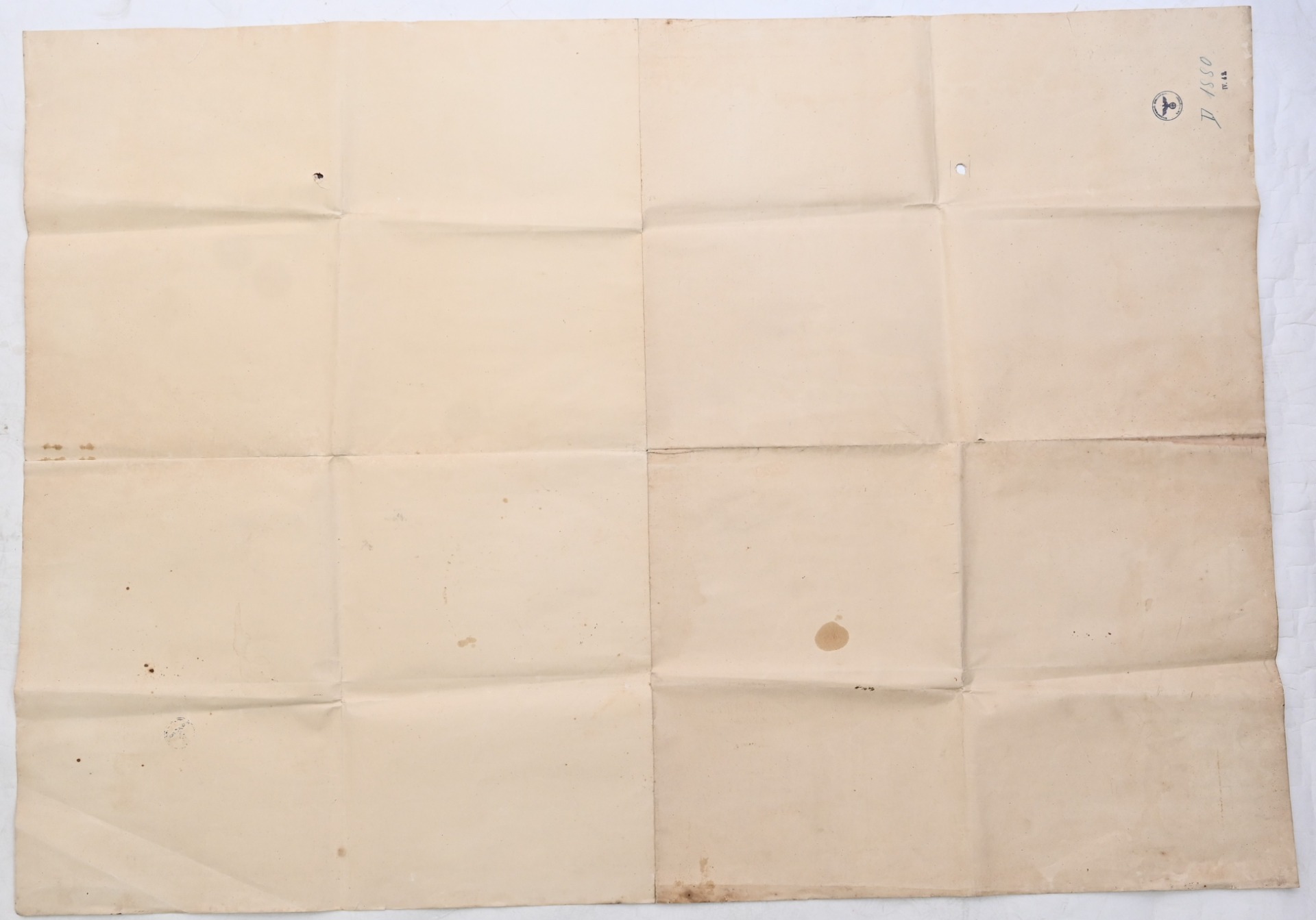
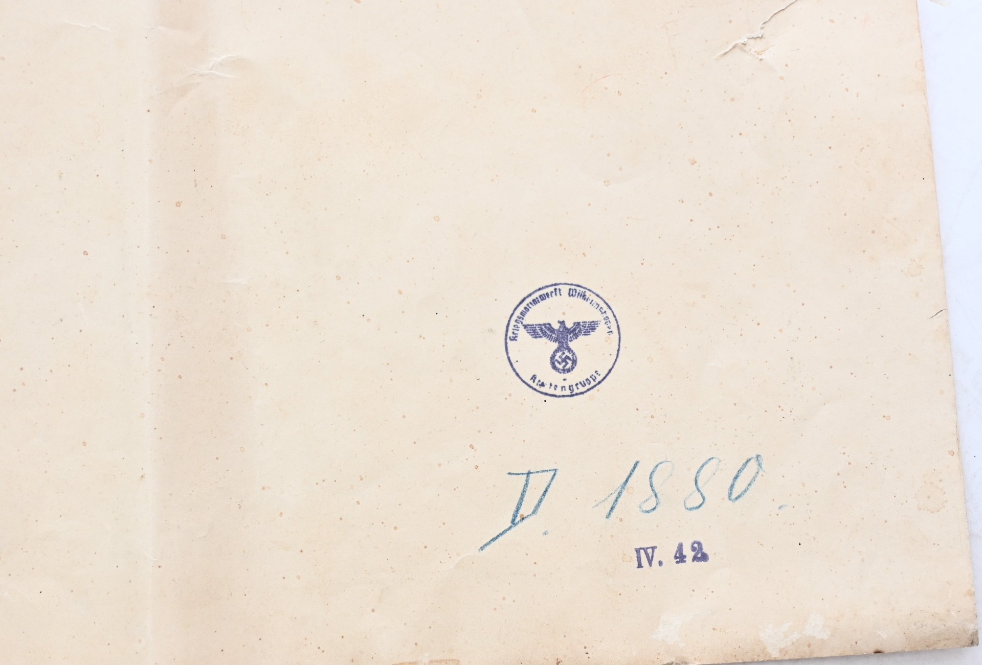
The map shows overall normal signs of wear. It shows the northern part of Germany with harbors like Wilhemshaven, Travemünde and Warnemünde. It also shows Norway, Sweden and Poland. The map is nicely marked (twice) with an inkstamp that reads 'Kartengruppe Kriegsmarinewerft Wilhelmshaven'. The size of the map is approx. 103cms*145cms. It's dated on the back April 1942.
Hard to find.
| Product Number | 32163 |
|---|---|
| Weight | 0.700000 |
| branch | Kriegsmarine |
| Unit: | Piece |
We found other products you might like!

 Out of Stock
 Out of Stock
 Out of Stock

 Out of Stock