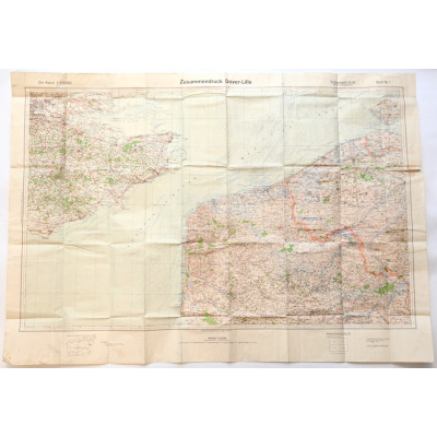
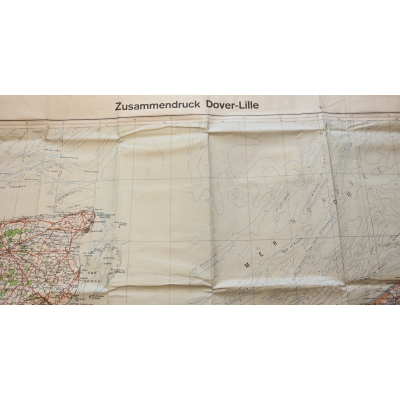
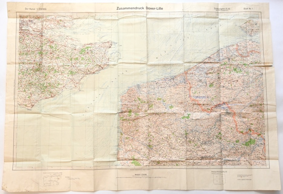


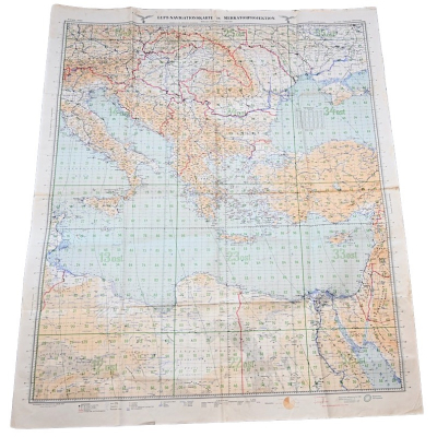
Large 'Dover-Lille Zusammendruck'
SOLD
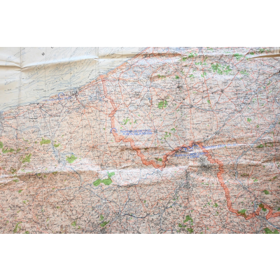
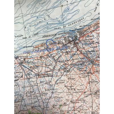
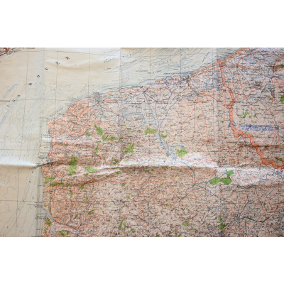
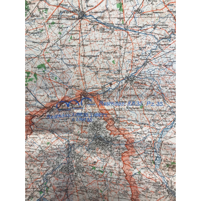
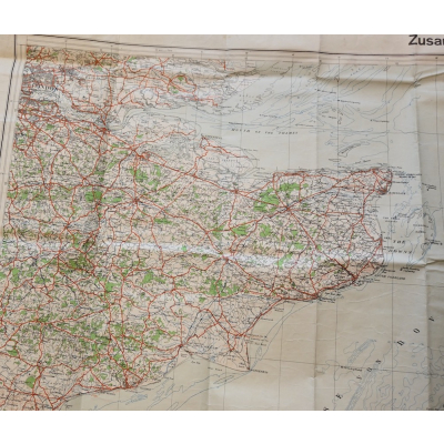
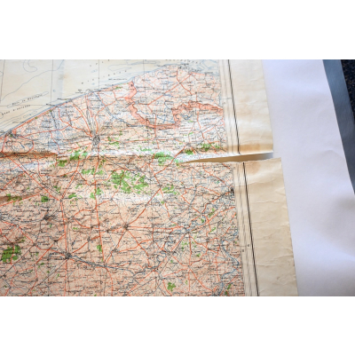
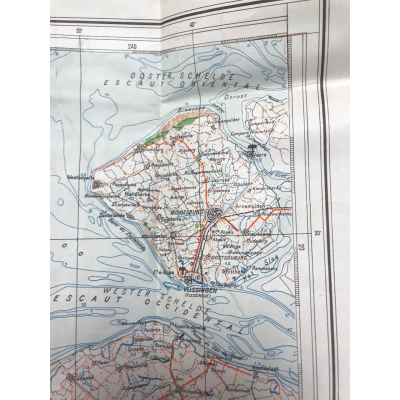
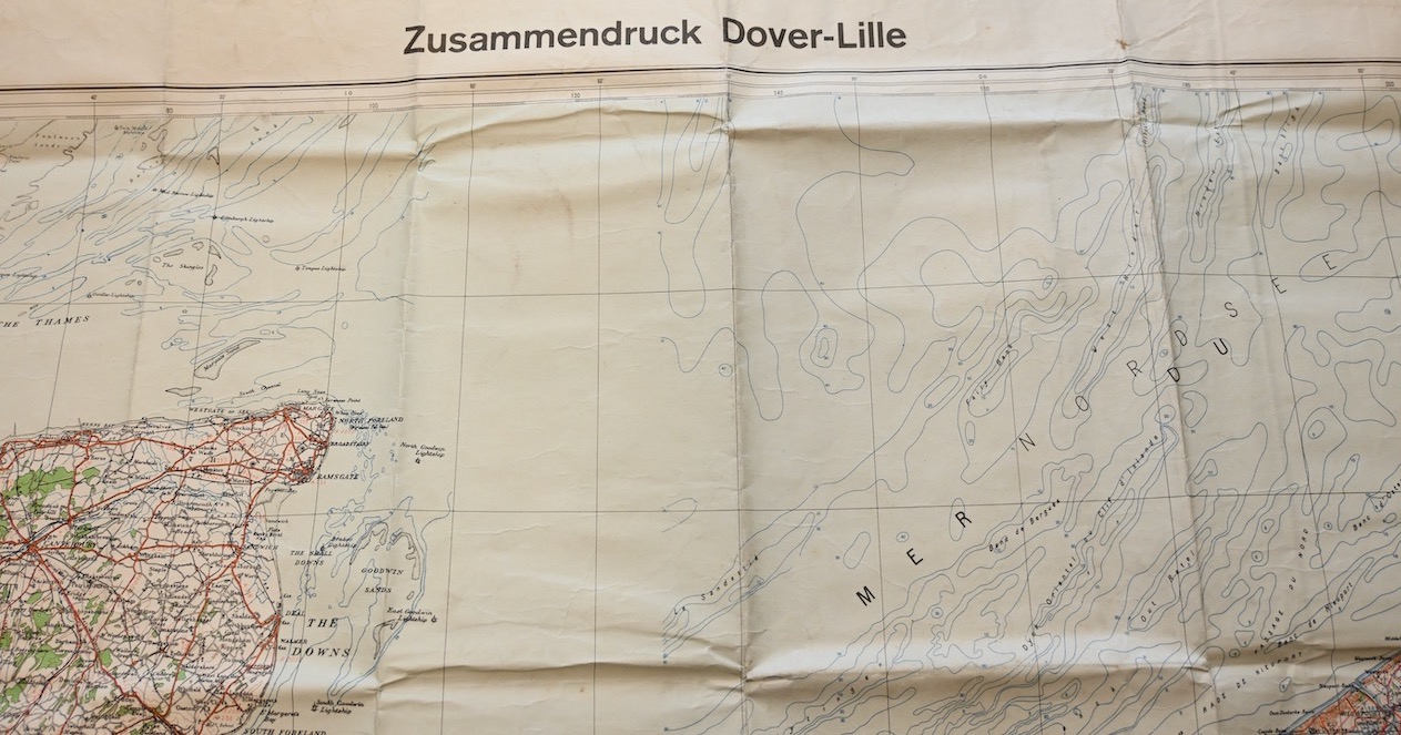
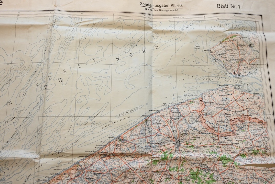
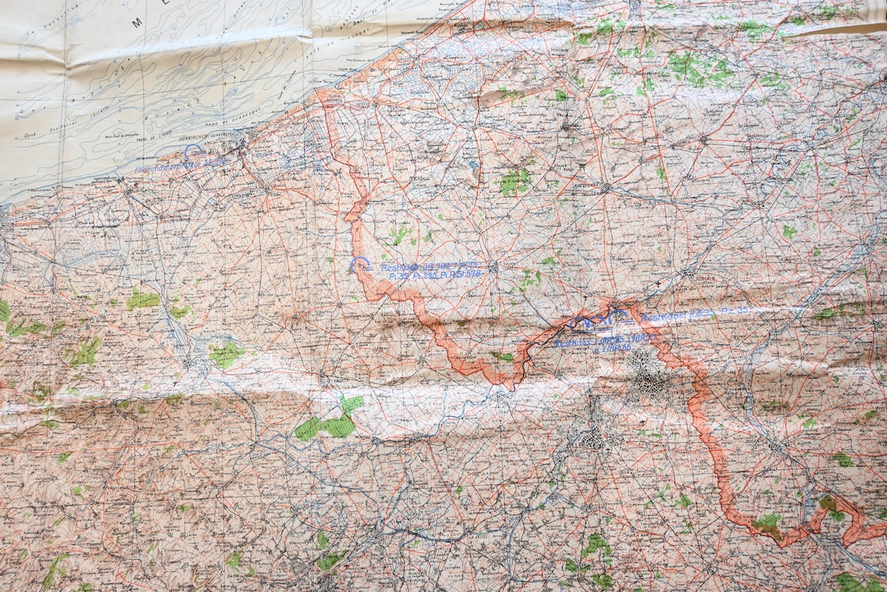
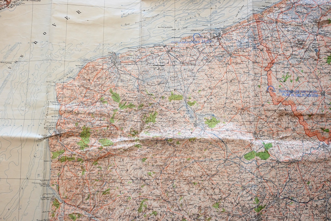
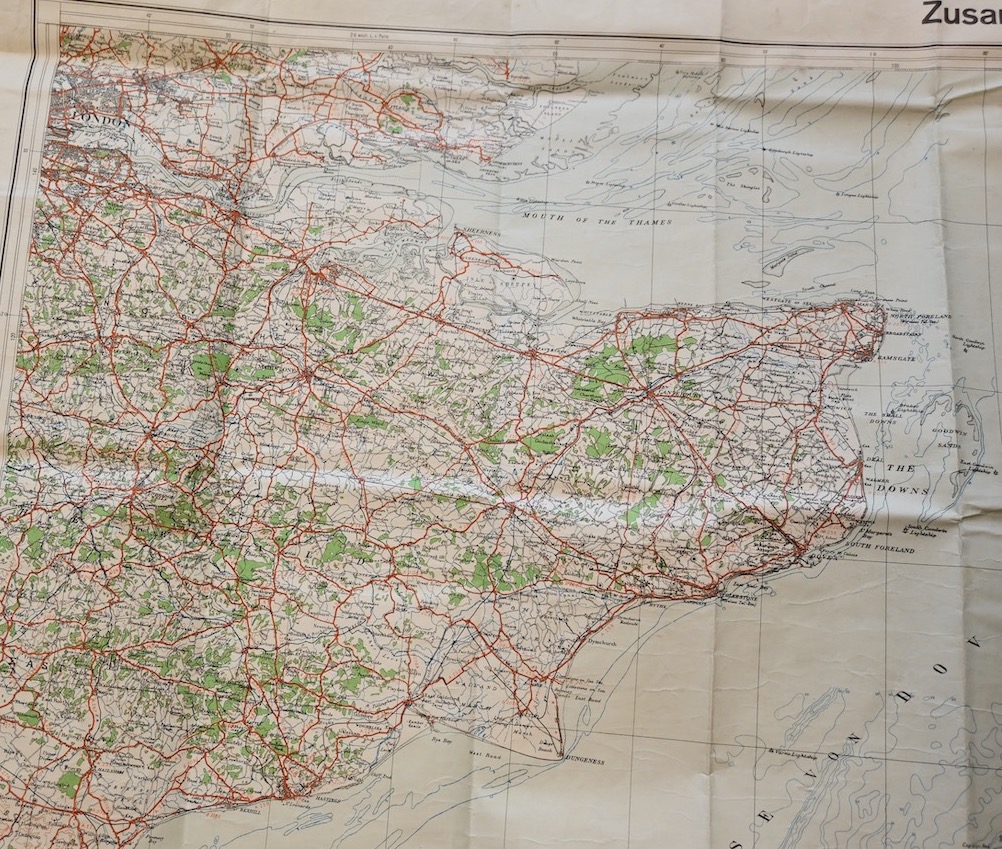
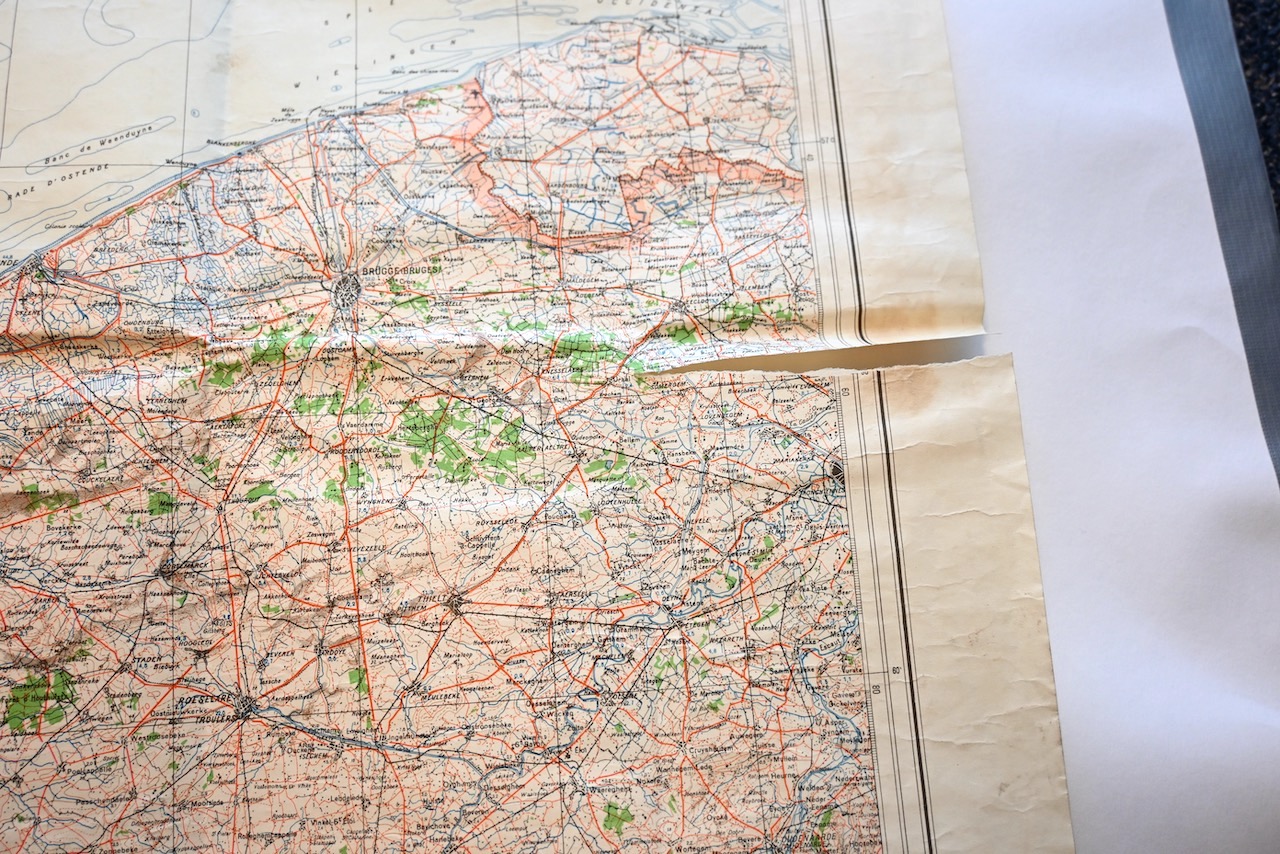
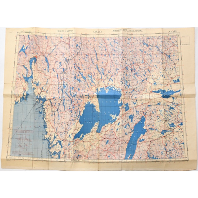
Very nice and very large Wehrmacht issued map of the area of Dover (England) and Lille (France) in good condition.
Availability:Out of stock
Product Number
19767
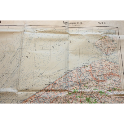
The map shows overall normal signs of wear. One small damage on 1 eadge. It shows the British area of Dover and the French area of Lille, but also a part the Belgium coast and a small part of the Dutch coast (Middelburg) This map is a so-called 'Zusammendruck'. It's dated 1940.
The size of the map is approx 111cms*80cms.
Awesome display piece for on your wall of your collection room.
| Product Number | 19767 |
|---|---|
| Weight | 0.090000 |
| branch | Heer |
| Unit: | Piece |
We found other products you might like!
 Out of Stock
 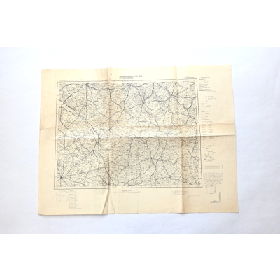 Out of Stock
 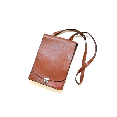 Out of Stock
 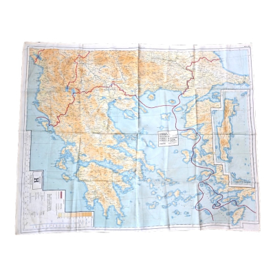 Out of Stock
 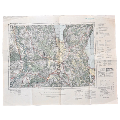 Out of Stock
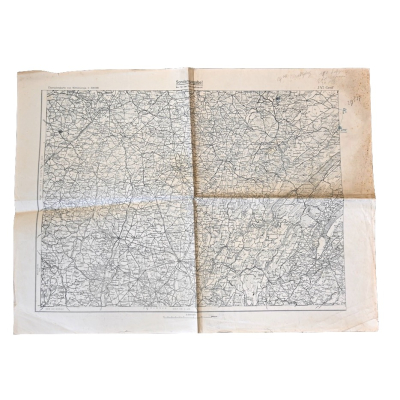
 Out of Stock
  Out of Stock
  Out of Stock
  Out of Stock
 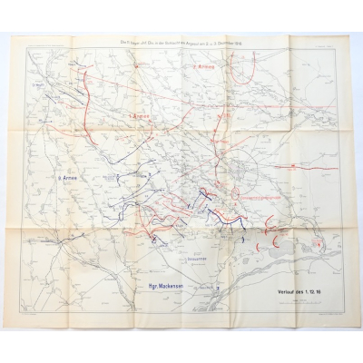 Out of Stock
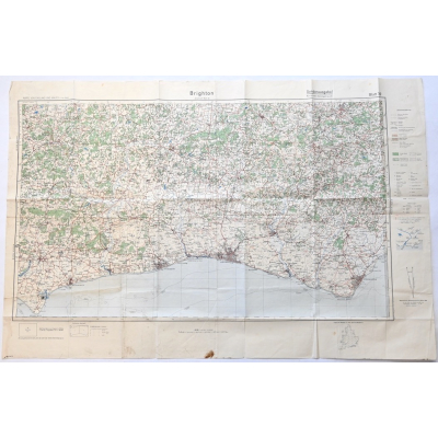
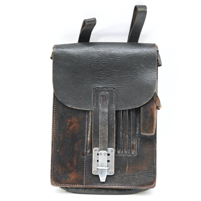 Out of Stock
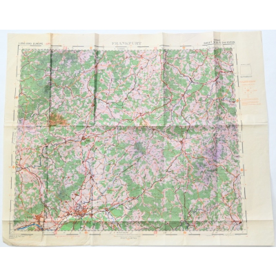

 Out of Stock