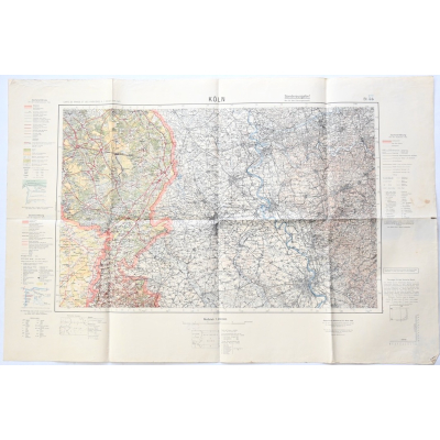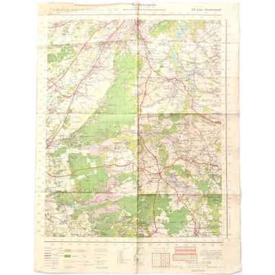
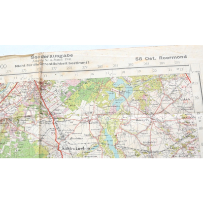
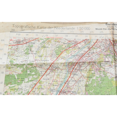
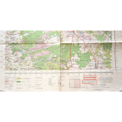
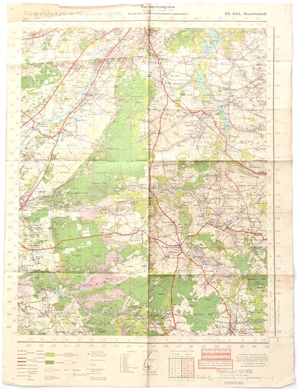
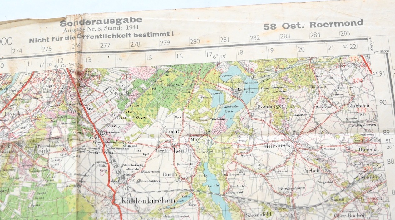
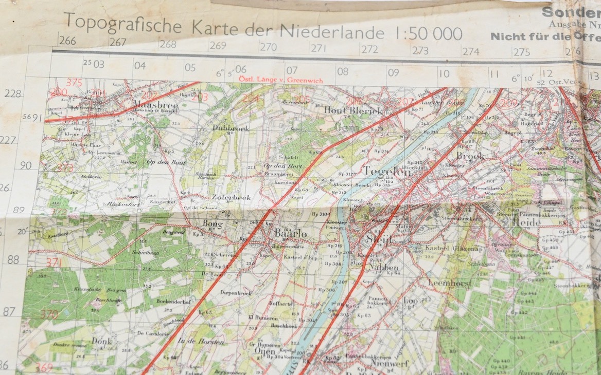
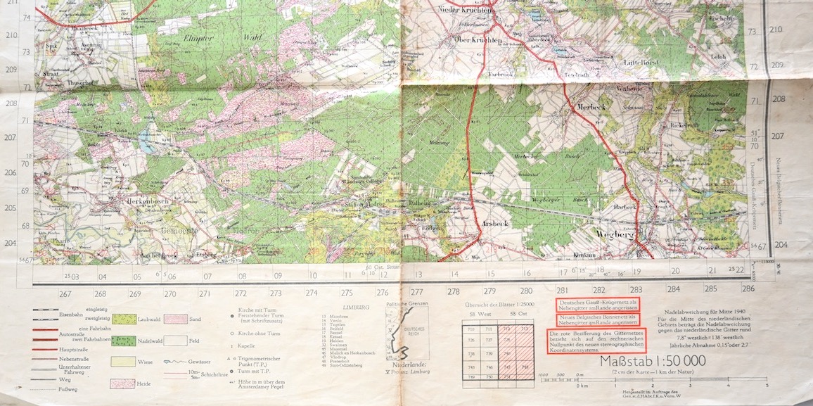
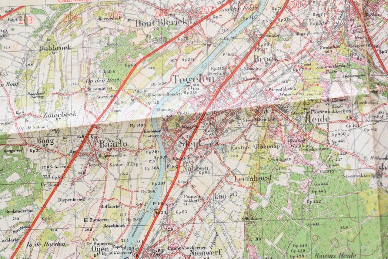
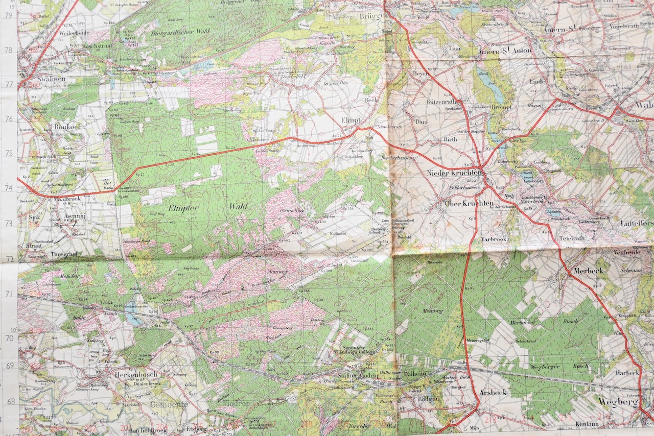
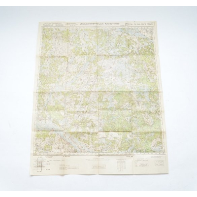
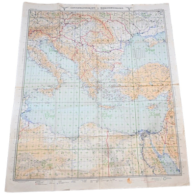
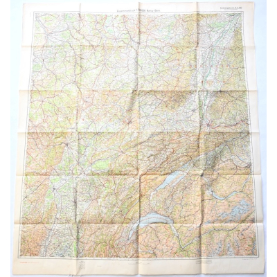
Deutsche Heereskarte of Ost. Roermond (NL)
SOLD
Very nice Wehrmacht issued map in used, but good condition of the Dutch area of east Roermond.
Availability:Out of stock
Product Number
19255
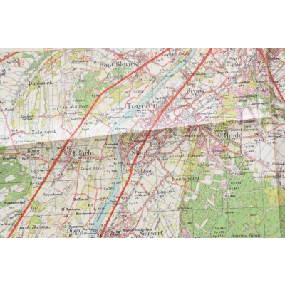
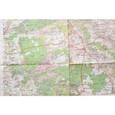
The map shows overall normal signs of use, mainly on the edges. Besides the area of Roermond also the German area of Kaldenkirchen and Born are visible. The map is dated 1941.
The size of the map is approx. 62cm*46cm.
| Product Number | 19255 |
|---|---|
| Weight | 0.025000 |
| branch | Heer |
| Unit: | Piece |
We found other products you might like!
 Out of Stock
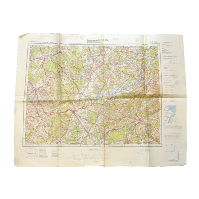
 Out of Stock
  Out of Stock
  Out of Stock
 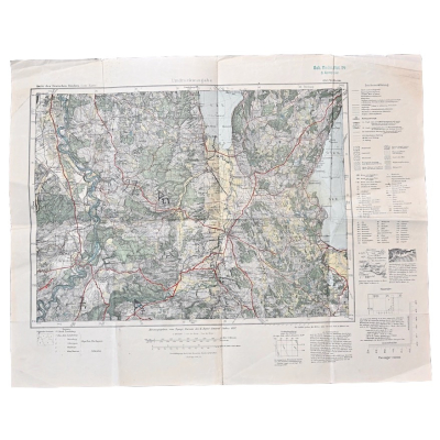 Out of Stock
 Out of Stock
  Out of Stock
  Out of Stock
  Out of Stock
  Out of Stock
 Out of Stock
 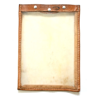 Out of Stock